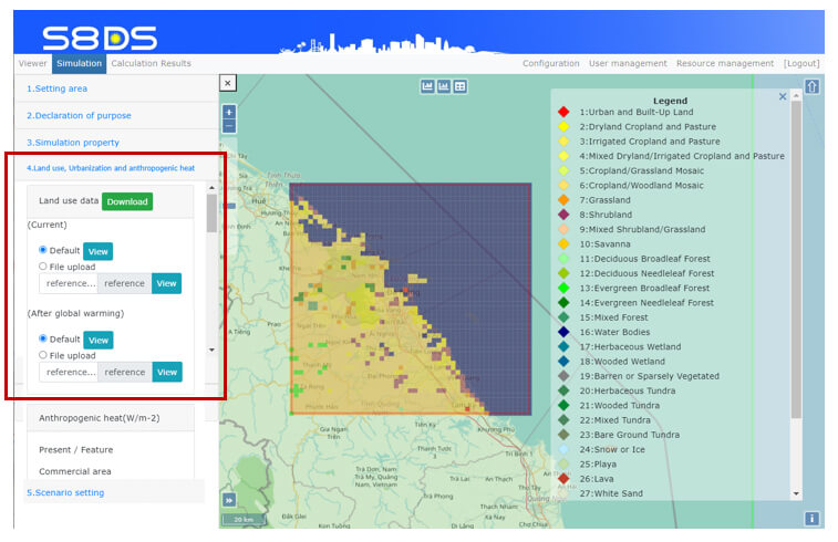
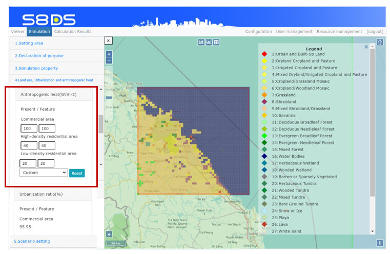
Main components for anthropogenic heats are followings;
- Industry(power plants, incineration plants, factories)
- Building(air conditioning, other electric instruments, gas)
- Vehicle(engine, air conditioning)
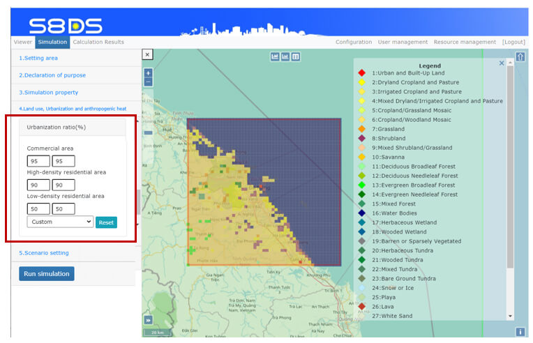
The “Business as Usual(100%)”, “High Development(120%)”, “Slow Development(80%)” and “Custom” as defaults can be selected.
The default parameters are estimated based on cities in Vietnam. However, it is inappropriate for cities in other countries.
If you want to get more appropriate and detailed parameters, please consult to the specialists of urban heat inland in selected countries.